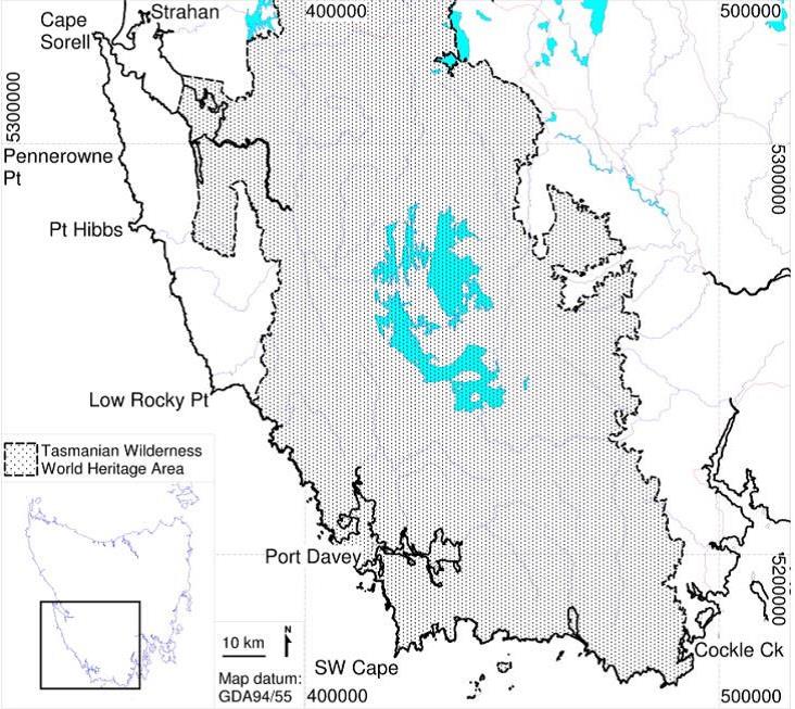
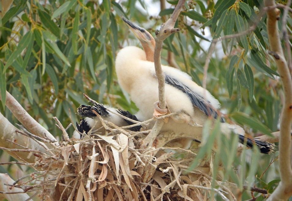
David Marsh
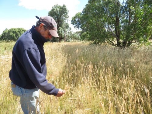
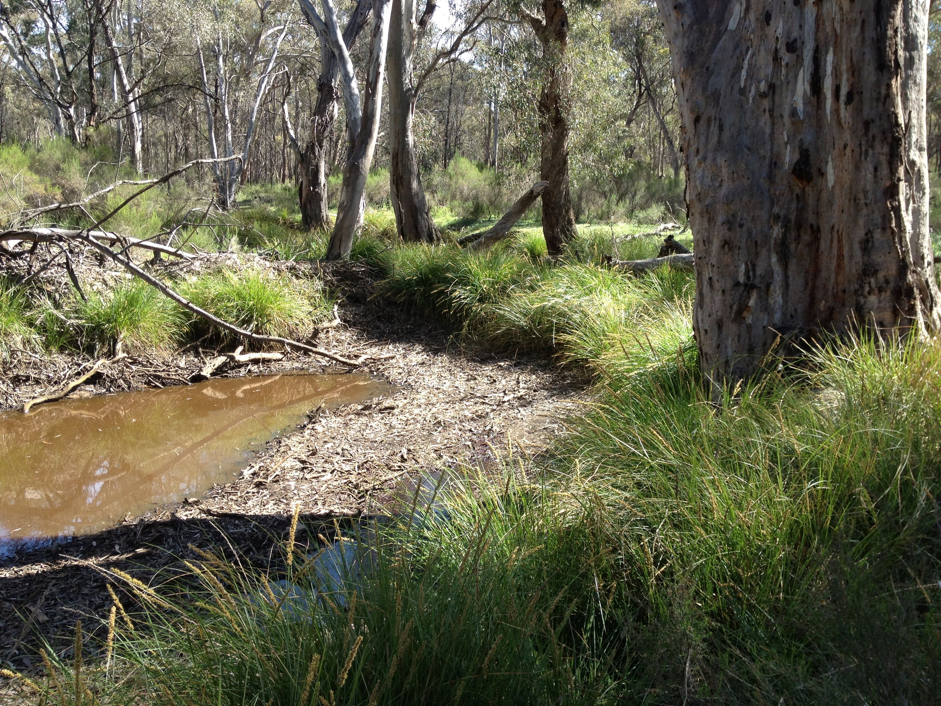
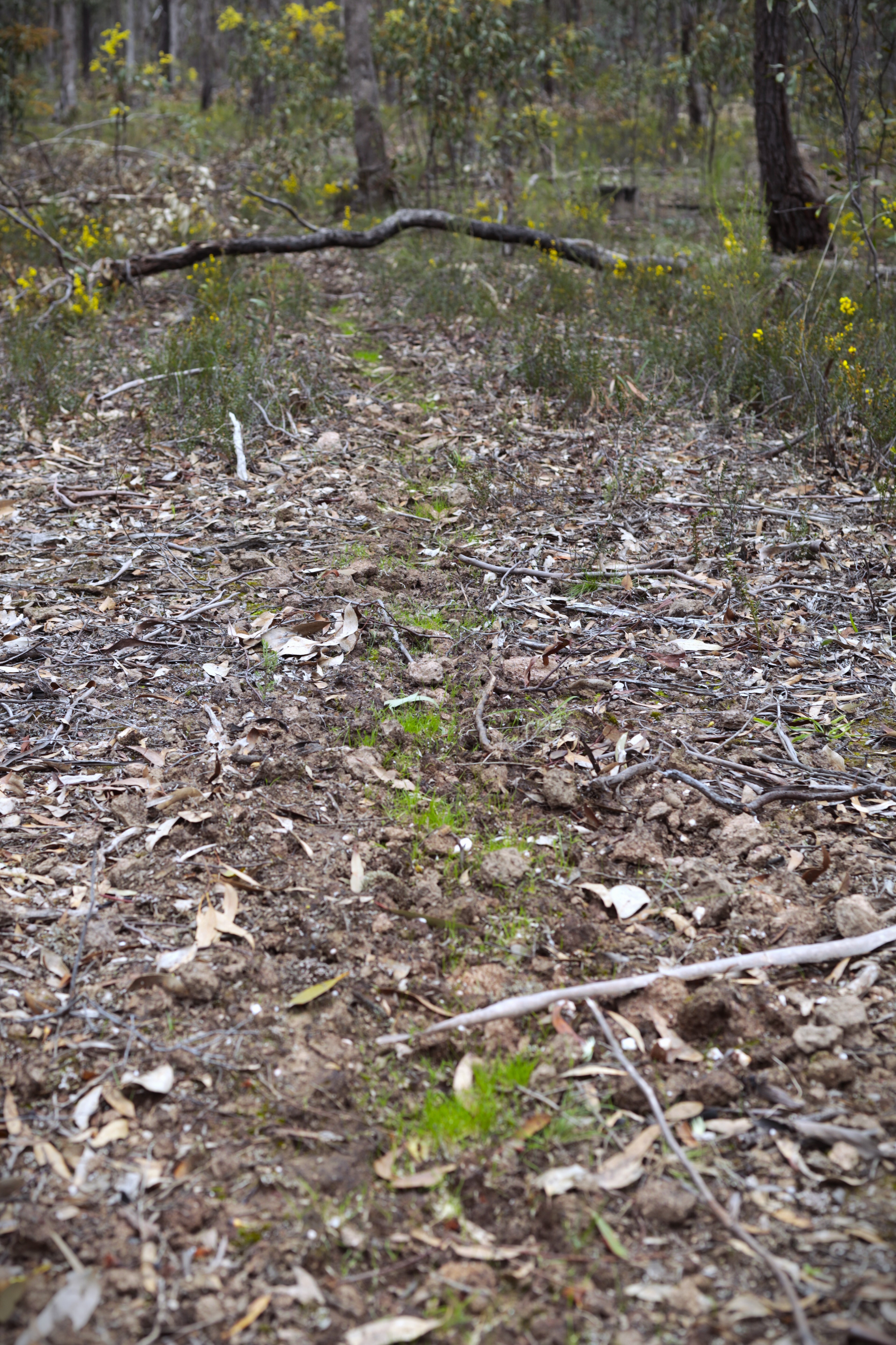
Figure 1. David Marsh among native grasses that naturally regenerated at Allendale (Photo T. McDonald).
Introduction: When we purchased the 814 ha ‘Allendale” property in the wheat-sheep belt of the Southwest Slopes of NSW in 1966, almost all of the plants that had evolved here over millennia had disappeared although Europeans had only been here for 142 years. All that remained of the woody components were some scattered Yellow Box (Eucalyptus melliodora), Blakeley’s Red Gum (E. blakelyi) , a few White Box (E. albens), a few Apple Box (E. bridgesiana), and very few Hickory Wattle (Acacia implexa). The ground layer, which normally includes most of the biodiversity in grassy woodlands had almost completely disappeared.
During first 18 years (of the 52 years) managing our farm we took a conventional approach to farming, having a largely economic relationship with the land and applying all the latest agronomy to lift yields. In 1989 we began a shift towards a process of ‘recovery grazing’ using Alan Savory’s Holistic Resource Management approach. This was motivated not only by our values of wanting to leave the local landscape in healthy condition but also by the fact that the conventional mixed farming model was driving our farm into incrementally increasing debt. We realized that we were attempting to run a fixed enterprises in a variable climate of recurring drought and that wasn’t working. Training in holistic management with a certified educator in 1999 gave me the confidence to take the process more seriously, as did my enrollment in a Grad Dip. of Sustainable Agriculture followed by a Masters degree in Sustainable Agriculture.
The basis of recovery grazing is to avoid preferential and repeated overgrazing of desirable perennials by using rotational grazing in many small paddocks (to avoid repeatedly grazing recovering plants) rather than set grazing in a few paddocks. This allows longer recovery times for the desirable native perennial grasses and avoids creating conditions best suited to annuals of less value to livestock. The ecological and economic results of our efforts have been outstandingly positive.
Works undertaken: Our first objective was to get costs under control. Surprisingly, for us this meant discontinuing cropping. Despite intermittent large profits from cropping our analysis showed that it was not profitable overall due to the number of dry years, wet harvests and frosts. We also started managing livestock differently. We created more land divisions using conventional or electrical fencing and, in our case, piping water to each paddock rather than radiating paddocks around the dams. (A trial of the latter showed it would cause too much erosion over time.) The troughs, energiser and solar panels are moved with the cattle, each move taking less than an hour. Fencing and water cost us $85/ha at the time and was completed in 5 years, which compared favourably to spending $70K a year on fertilisers and pesticides during our cropping phase. Instead of 12 mobs of cattle and 26 paddocks we now have 104 paddocks (and usually one mob of cattle), running them on an agistment basis that happens to suit us. Each paddock is only grazed for a total of about 10 days per year which gives time for not only existing pasture species to recover but for new species to recruit.
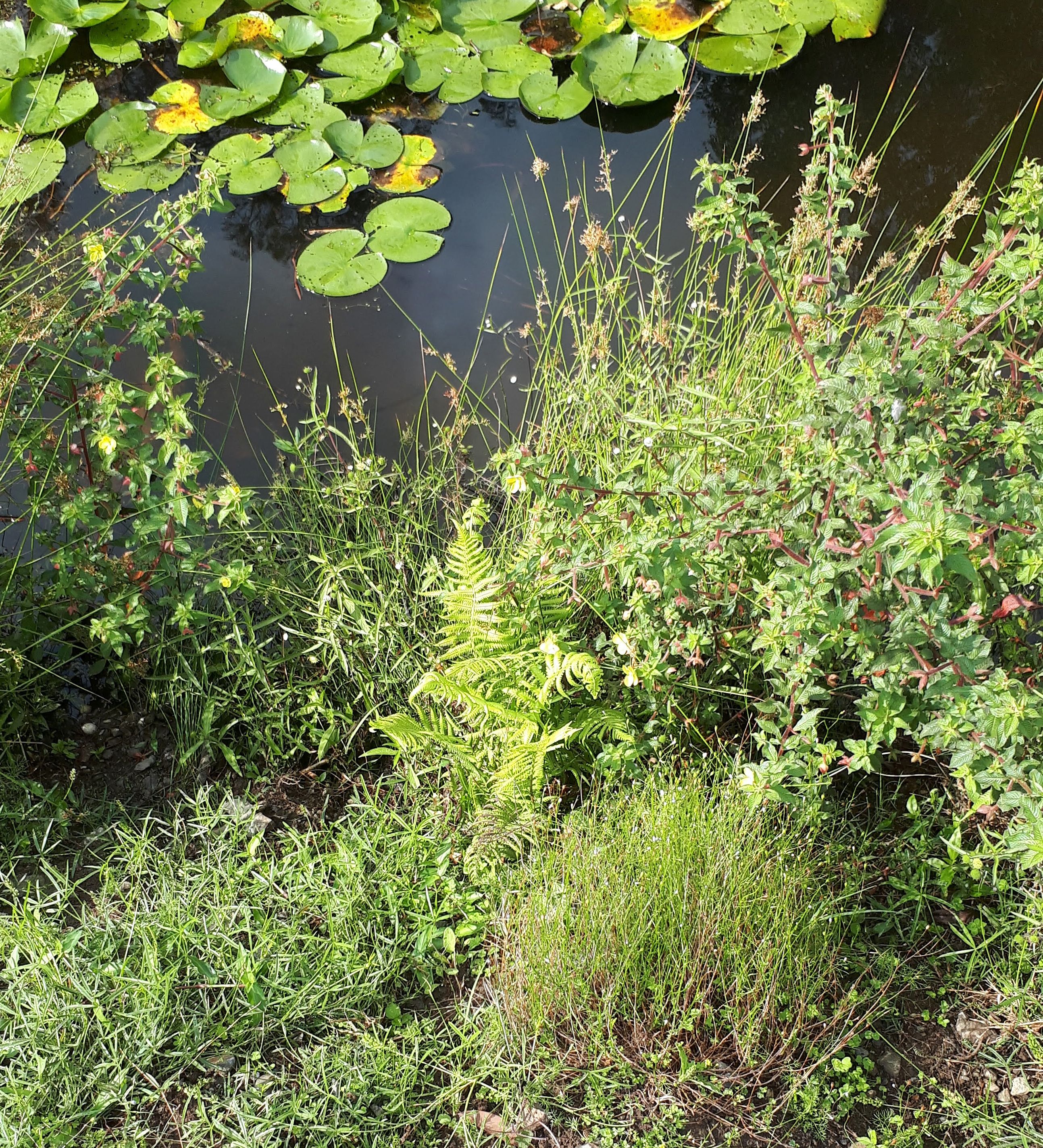
Most of our vegetation restoration approach relies on natural regeneration including both groundcovers and trees. But we have planted quite a few scattered trees and have also sown some native grass seed – either hand broadcasting after collecting it from roadsides (or where it has recovered on the property) or after mechanized seeding of purchased batches from other farmers interested in the same process. Cattle are also agents in seed dispersal as they spread it when grazing plants with ripe seed. A technique that we have used occasionally is to intentionally move the mob from a paddock with ripe seed (after they have had a big feed) to a paddock that doesn’t have much of the species we wish to encourage. Effectively the cattle are harvesting and sowing the seed for us at no cost.
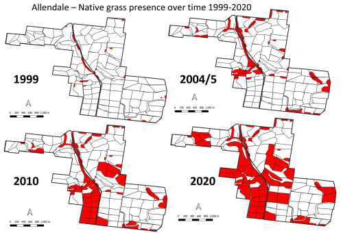
Figure 2. Increase in native grass presence at Allendale over time. (1999 -2020)
Results to date:
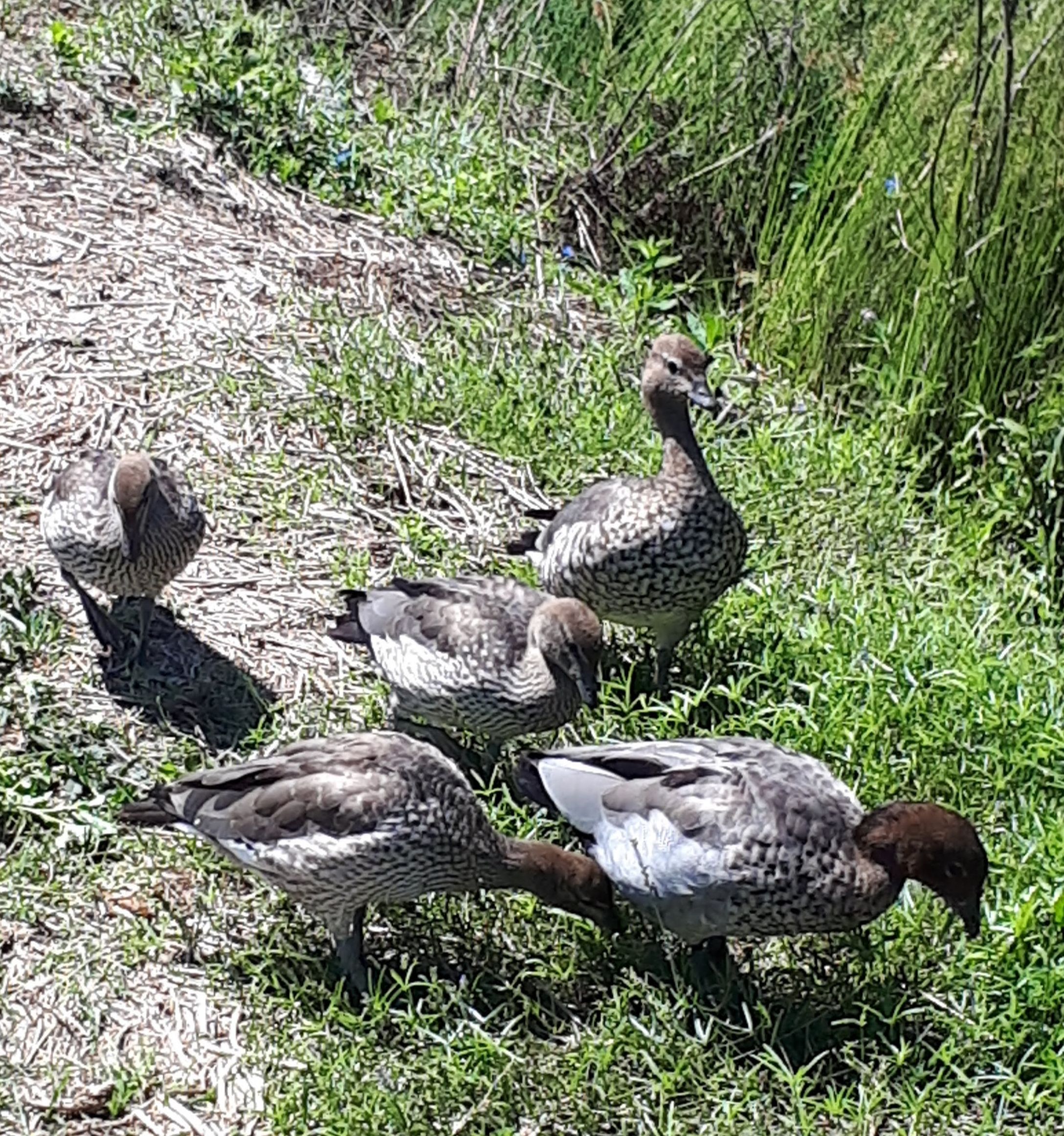
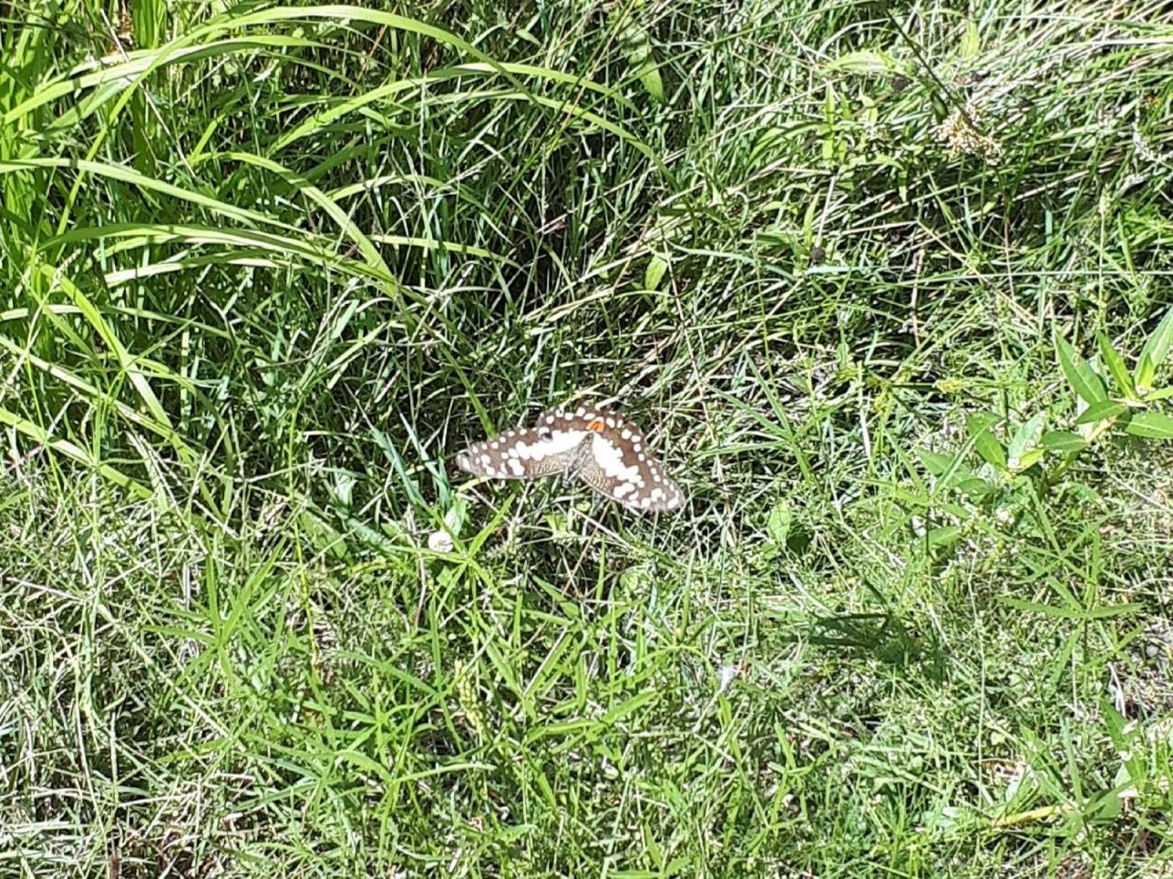
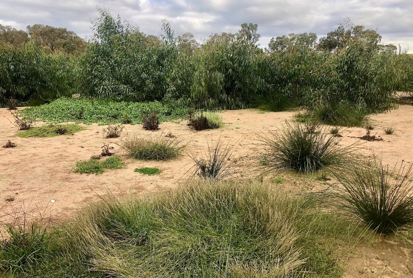
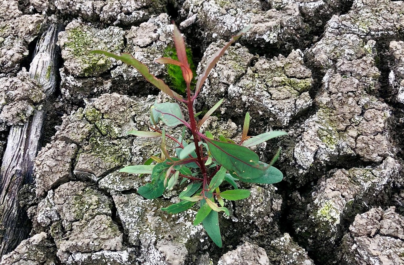
Woody vegetation. Tree cover on Allendale has increased from 3% cover in 1966, to over 20% in 2022 (through both tree planting and natural recruitment). Since 2010 – when it rained after a nine-year dry spell – the big remnant trees began to reproduce. The long recoveries from grazing allowed around 800 saplings (with temporary electric tape to protect them from being grazed for a few years), to survive and become trees. This is the first time any native trees have germinated and survived on Allendale in over 100 years. Wattles (Acacia spp.) were originally direct seeded and are now recruiting. This increase in woody vegetation and cycling provides the basis for a far more complex ecosystem on Allendale (with more insects, small reptiles, birds and a range of mammals) compared to recent previous decades.
Bird life. With these changes, a whole lot of other ecological shifts are also occurring at no cost. These days there are many thousands of quail (Coturnix sp.), finches (Neochmia spp.) and wrens (Malurus spp.) are present in increasing numbers. Dusky Wood Swallow (Artamus cyanopterus cyanopterus) and White-browed Wood Swallow (Artamus superciliosus ) come nearly every year and breed here; the Rufous Songlark (Cincloramphus mathewsi ), a ground nesting bird that we seldom saw previously, is now frequently observed. Various raptors are constantly here; the Black Shouldered Kite (Elanus axillaris), Nankeen Kestrel (Falco cenchroides), Wedge-tailed Eagle (Aquila audax), Brown Falcon (Falco berigora), Swamp Harrier (Circus approximans), Spotted Harrier (Circus assimilis) and Peregrine Falcon (Falco peregrinus) are frequent visitors. To date there have been 128 species of birds identified on the property, and we have observed informally that many of these species (and their abundance) have increased in recent years.
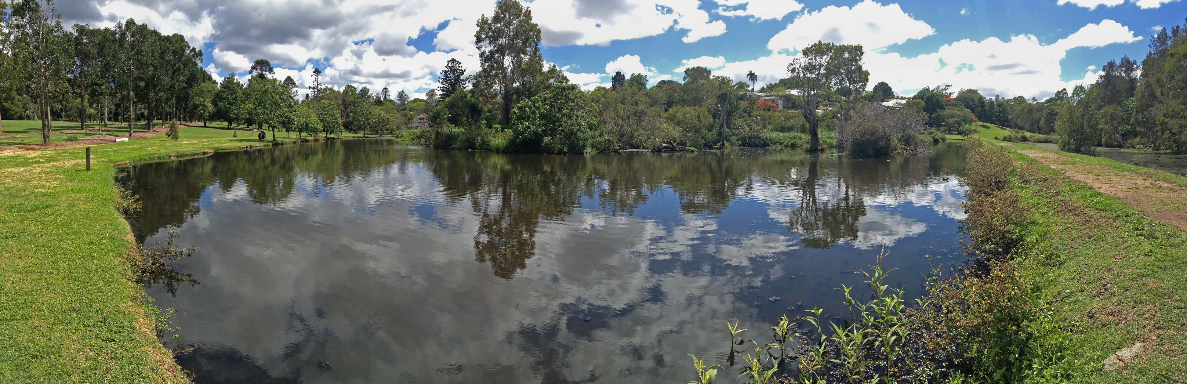
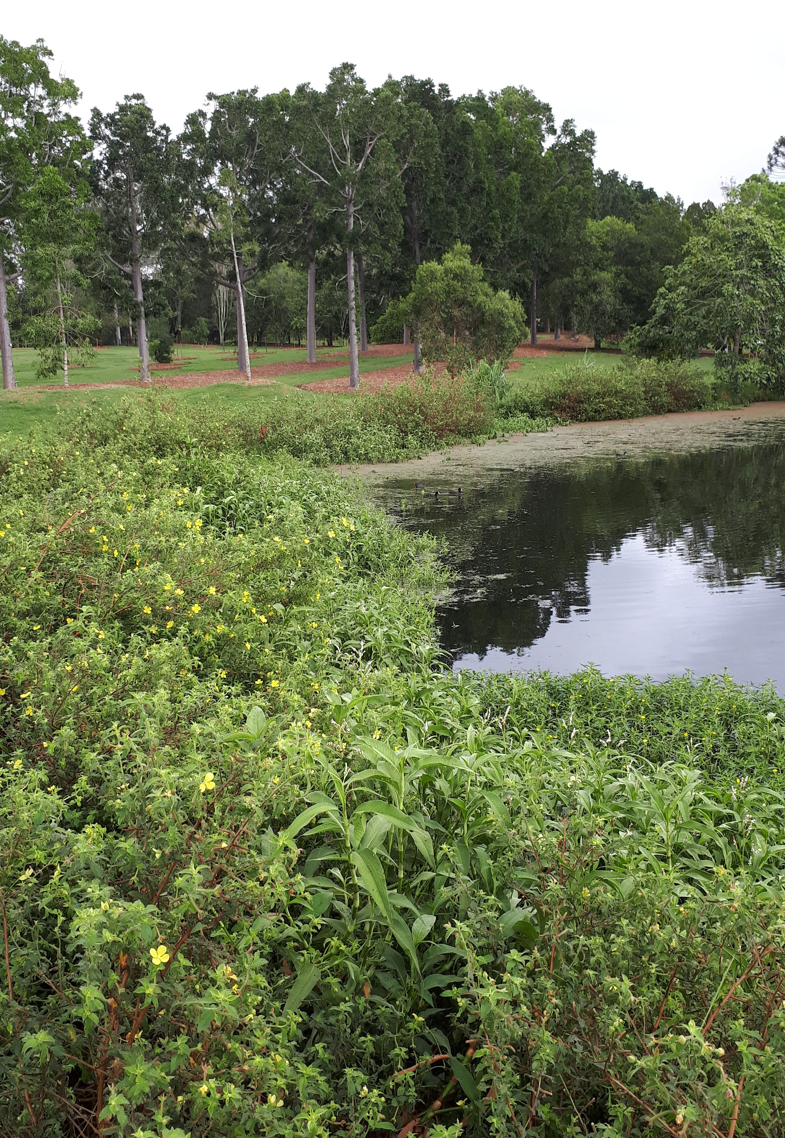
Grasses. Cibolabs analyses have shown that our ground cover levels have been at 100% for many years now and there have been particular increases in native grasses (Fig. 1). We mapped the native grasses on the property in 1999 and found them present in only 1 ha out of 814 ha and confined to rocky outcrops that could not be ploughed and in a few fence corners. Repeat mapping in 2004/5 showed native grasses covered a larger area (~86ha) – with further increases mapped in 2010 (189ha) and 2020 (440ha) (Figs 2-5). Indeed, representatives of the warm season perennials that evolved here can now be found in most if not all our paddocks even though too scattered to map.
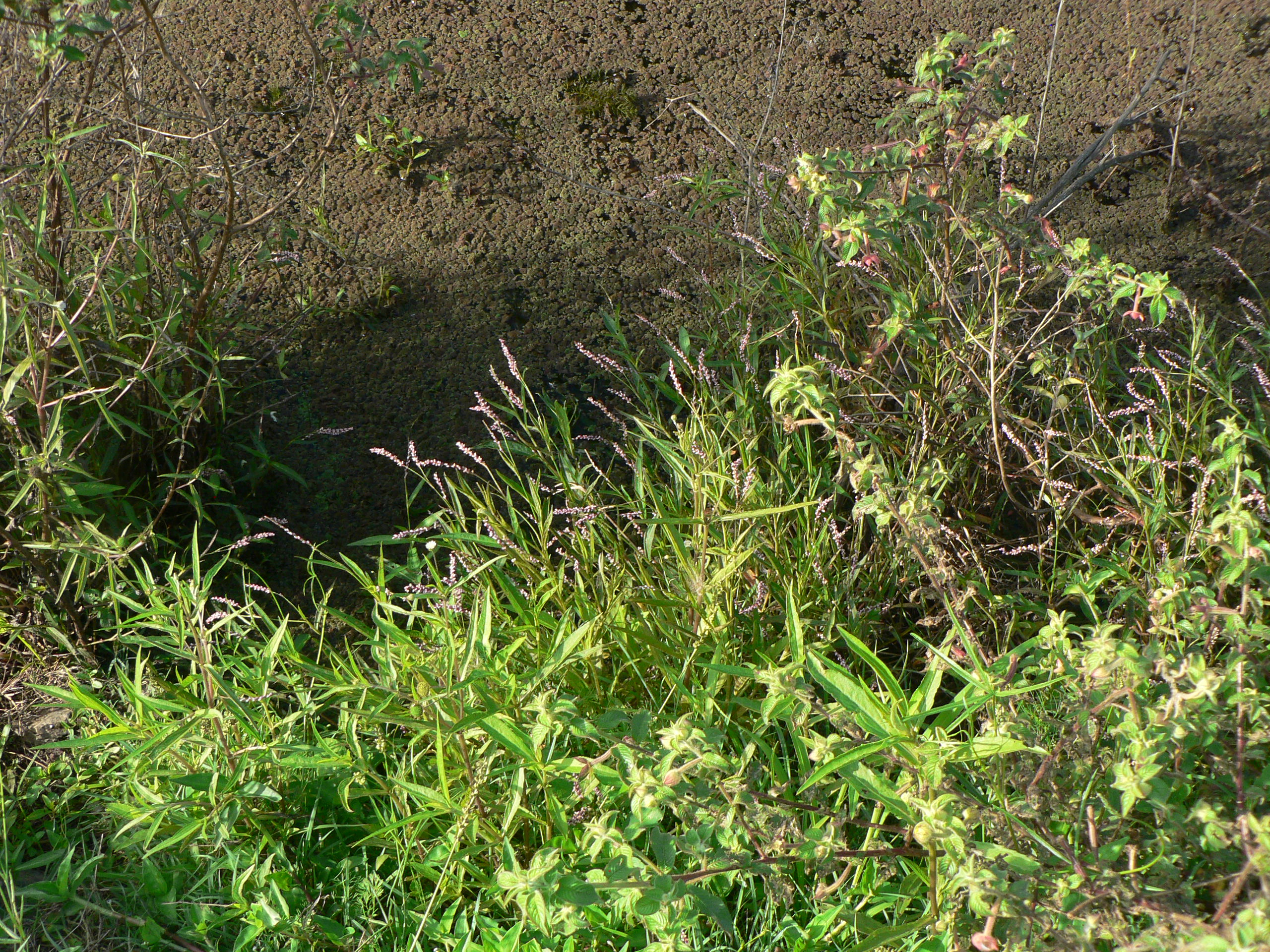
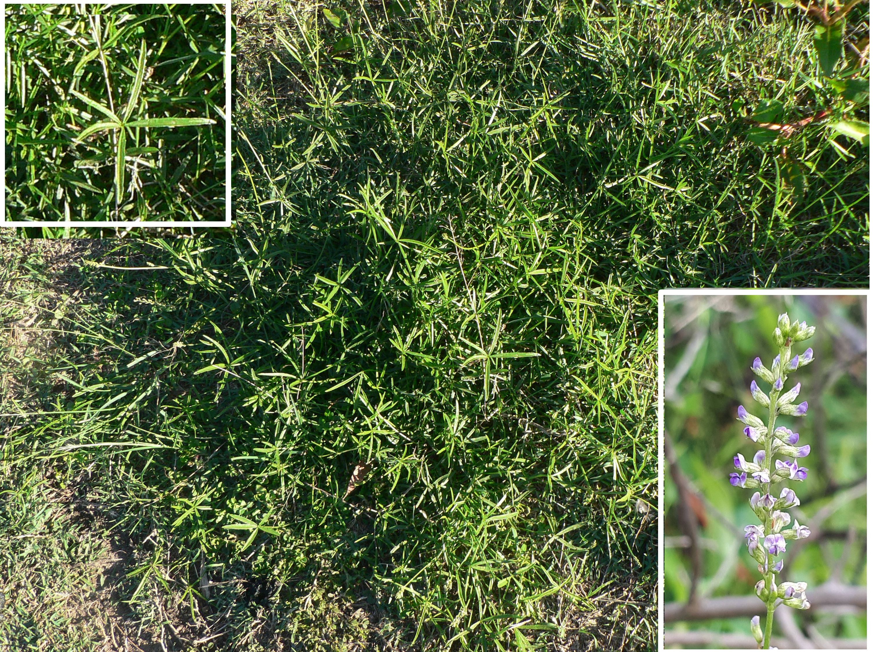
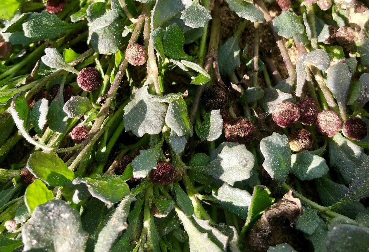
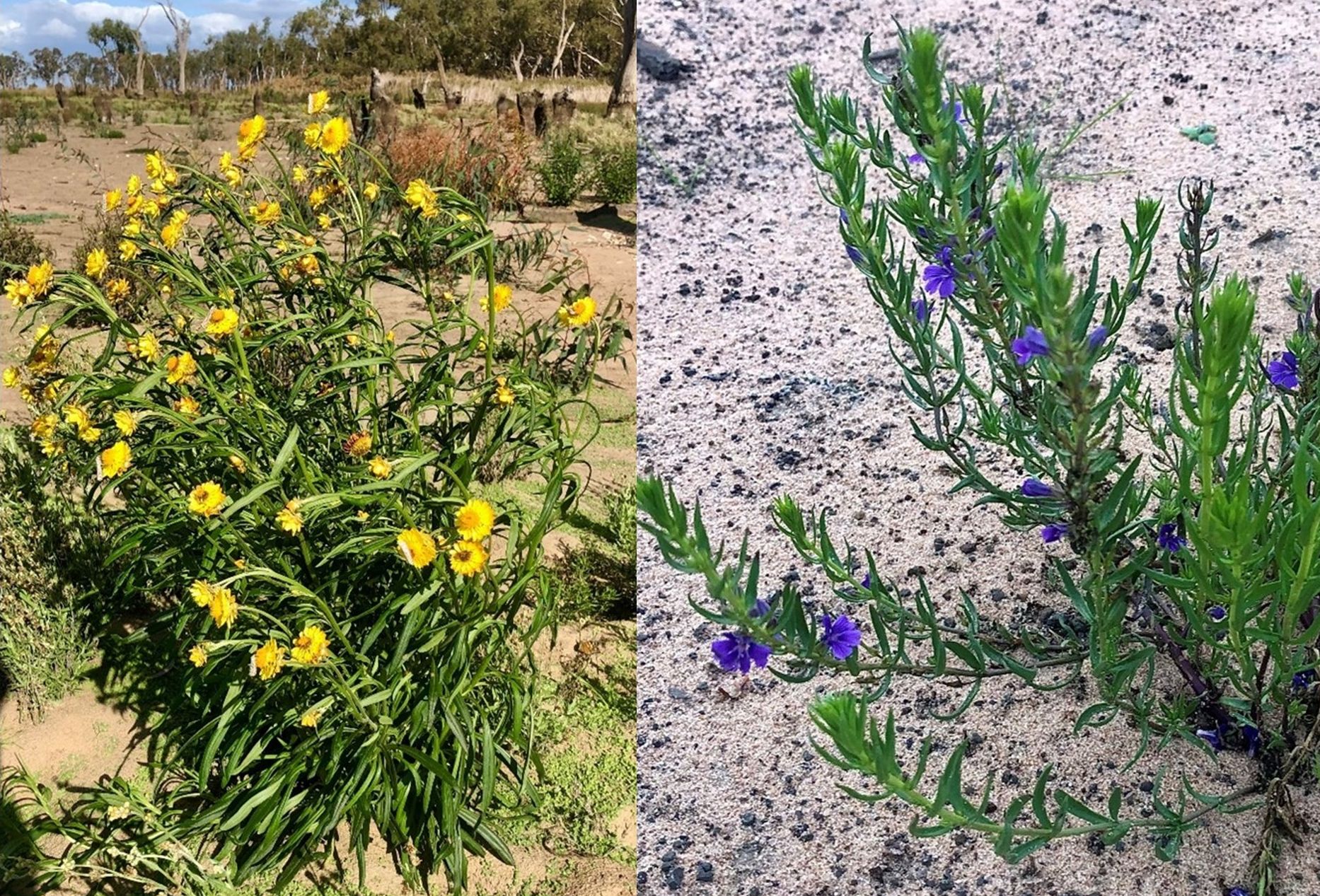
The grass species include wallaby grasses (Rytidosperma spp.), Common Wheat Grass (Elymus scaber), spear and corkscrew grasses (Austrostipa spp.), Umbrella Grass (Chloris truncata), Kangaroo Grass, (Themeda triandra), Weeping Grass (Microlaena stipoides), Box Grass (Paspalidium distans), Arm Grass (Brachiaria milliformis), Queensland Blue Grass, (Dicanthium sericeum), Red Grass, (Bothriocloa macra), Cotton Panic (Digitaria brownii) and Wild Sorghum (Sorghum leiocladum). All these species have increased markedly in recent years, with the big stand-outs being Arm Grass, Box Grass, the wallaby grasses and Umbrella Grass (See Appendix 1).
While we believe the grasses would have gradually increased over time without sowing, we have accelerated the process by sowing some species in small quantities using a disc seeder in some sites, but mainly broadcasting seed by hand from a quad bike (Figs. 3 and 4 0a.nd Appendix 1). Seeds were also dispersed by the cattle.
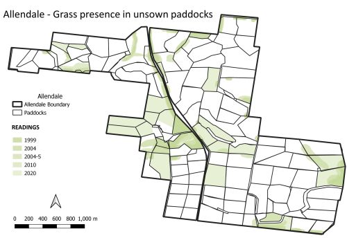
Figure 3. Locations of seed sowing treatments over time at Allendale.
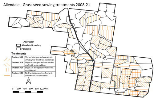
Figure 4 Locations of seed sowing treatments over time at Allendale.
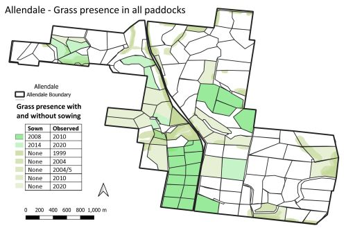
Figure 5. Native grass presence in all Allendale paddocks (with and without sowing) by 2020
Non-natives. Achieving change has been more difficult in the paddocks where we had previously introduced exotic seed mixes including Cocksfoot (Dactylis glomerata) and Phalaris (Phalaris aquatica). These two perennial exotic grasses are highly dominant and can temporarily competitively exclude native grasses (even if the latter may still be present) – particularly in wet seasons. Experience suggests that this may explain why native grass sowings in recent high rainfall years have not yet shown results (Figs 4-5). These species are still valuable for grazing, however, as is Paspalum (Paspalum dilatatum) – which has increased – and Plantain/Ribwort (Plantago lanceolata) which is considered beneficial to the quality of the pasture.
In general, however, managing ground cover to reduce bare ground has helped managed disturbance-adapted invasive weeds such as Illyrian Thistle (Onopordum illyricum), Patterson’s Curse (Echium plantagineum), Capeweed (Arctotheca calendula) and Amsinckia (Amsinckia spp.); all of which now occur only occasionally. Importantly, we previously had an annual spraying program for some of the problematic annuals but we have not done that for 22 years; managing ground cover to reduce bare ground goes a very long way to manage the populations of disturbance-adapted species. Any small patches of high-risk weeds (e.g. Rubus sp. and Rosa sp.) have proven manageable by mattocking out.
Lessons learned: Our goal is to live in a landscape increasing in biodiversity and to meet our economic goals. Over 30 years we were expending large amounts of money on contractors while rolling the dice against the weather, with little time for holidays. We have found that we now usually have perennial native grasses dominating in summer and that this avoids the previous boom and bust cycle. The recovery grazing management (probably combined with reduced nutrient loads) has now resulted in more diverse native perennial pastures and avoids the cost of resowing. This allows time for habitat to develop to increase native fauna and allows us to produce time for recreation.
The benefits we have seen however, required a changed mindset. It is quite hard for farmers to avoid intervening. We had lots of weeds for many years because our previous management had pushed succession all over the farm back to an early state due to the creation of bare ground, even though we had sown perennials. A more mature succession took 3-5 years after ceasing sowing, weed control and overgrazing, so it did not occur overnight. Importantly, all this required quite a philosophic conversion. Quite a lot of the farmers going down this track show a shift in attitude, characterized by patience and a greater willingness to take responsibility for land outcomes. Such a changed mindset is not yet being entertained by the number of farmers needed to stop the slow but inexorable decline of biodiversity on farmland. Yet more farmers are thinking about it now compared to in the last 20 years, which is an encouraging sign.
Acknowledgements: Thanks goes to my family (Mary Marsh, Skye Rush, Hugh Marsh and Alice Needham) and to my farming colleagues that have also been going on this journey (Charles Massy, Colin Seis, Martin Royds and Scott Hickman) .
Contact: David Marsh, Allendale, Boorowa NSW, Australia. Email: marsh.allendale1@gmail.com
Appendix 1. The main grass species, treatments and results at Allendale over approximately two decades.
| Species |
Intervention |
Results |
| Wallaby grasses (Rytidosperma spp.) |
Very little seed has been scattered of one variety only |
Six varieties are now present and appeared within 3-5 years. All are spreading. |
| Box grass
(Paspalidum distans ) |
Included in the total of ~8×40 kg bags of seed purchased from another farmer, Colin Seis, over the years) and hand dribbled in rows about 20m apart from the quad bike. Also included in the ‘Seis mix’ disc-seeded into paddocks totalling 150ha. |
In 1999 only found in one or two small patches but now it is every across the property |
| Umbrella Grass
(Chloris truncata) |
Included in the above-described ‘Seis mix’ hand dribbled and disc-seeded |
Was present in 1999 but now it is widespread as the seed heads are like umbrellas and tumble |
| Arm Grass – Brachiaria milliformis |
Included in the above-described ‘Seis mix’ hand dribbled and disc-seeded |
Was absent when first came here. Now it is widespread and increasing all the time.
|
| Kangaroo grass – (Themeda triandra) |
A total of half a wool pack from nearby roadside has been dispersed by hand from a quad bike over the ~15 years (split over ~four occasions). |
Was absent when first came here but was present on the roadside. It is not spreading rapidly but is starting to come back.
|
| Corkscrew and tall Stipa
(Austrostipa spp.)
|
Pre-existed and not collected. |
Some was present in uncropped areas. As a pioneer it can now be seasonally abundant. |
| Red grass (Bothriochloa macra) |
A little pre-existed was original present but some is in the ‘Seis mix’ hand dribbled and disc-seeded |
Some was present in uncropped areas. It is now increasing although quite slowly. |
| Weeping grass (Microlaena stipoides) |
Some seed was included in grass culms harvested from a nearby property and ‘blown’ out onto some Allendale paddocks by Owen Whittaker. |
Some was present in uncropped areas. It is gradually increasing. |
| Common Wheat Grass (Elymus scaber)
|
No seed was sown but have collected from Allendale paddocks and distributed by hand a from quad bike. |
Some was present in 1999 but it is now spreading extensively. The species is relatively insignificant but has a place in a pasture.
|


